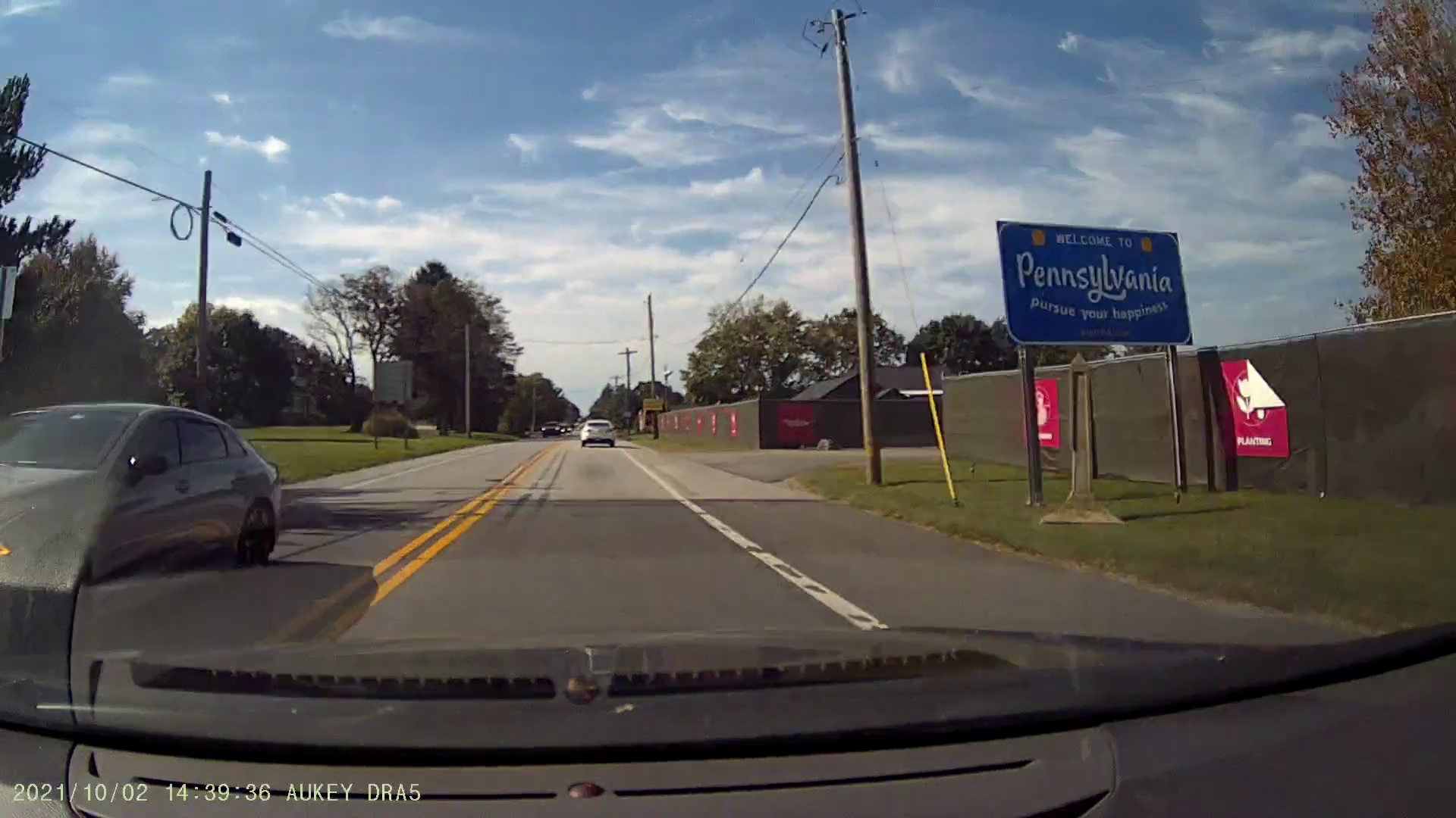
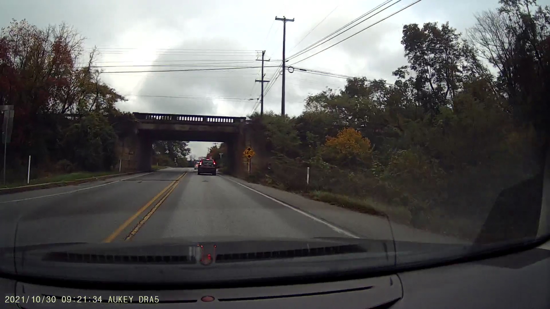
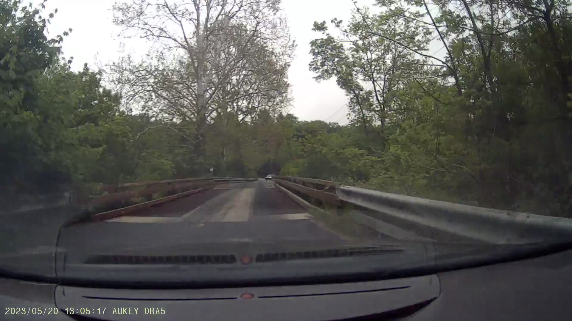
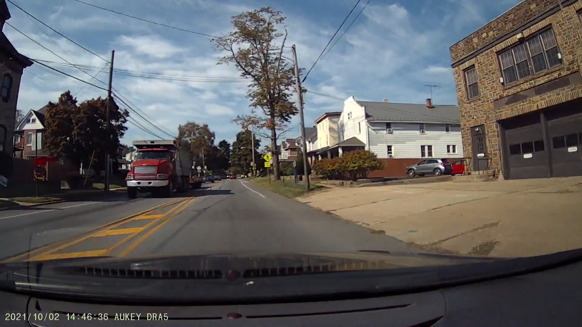
PA/DE-41 (Newport-Gap Pike), the main truck route between Lancaster and Wilmington, entering Pennsylvania. Footage from my dashcam.
Several years ago, I was reading Man and Nature in Delaware: An Environmental History of the First State and I specifically recall a section that described the once-strong economic connection between Lancaster County, Pennsylvania and Wilmington, Delaware. I noticed that Lancaster was specifically listed as a destination on some highways leading out of Wilmington. However, despite the historical connection between these two regions, no high-quality arterial route connects them. This is most directly because advancements in transportation, mainly the railroads, favored the larger markets found in Philadelphia. Now, Lancaster area freight is largely moving towards the trucking hubs found along the modern highways found in its western neighbor, the Harrisburg-York-Carlisle area.
The contents of this article are listed below:
The economic interdependence between Delaware and Lancaster has a bit of an interesting history, as described in Man and Nature in Delaware (pages 100-102, emphasis added):
"During the early eighteenth century, Pennsylvania's farm frontier pushed westward from Philadelphia through Chester and Lancaster counties to the Susquehanna River Valley. (Delaware County, Pennsylvania, was subsequently carved out of southeastern Chester County in the nineteenth century.) The limestone rich soil of this region was very fertile and the newly-cleared fields produced bountiful harvests of wheat. So prolific were its grain harvests that southeastern Pennsylvania soon became known as the breadbasket of the Anglo-American colonies. Because shipping wheat east by wagon to Philadelphia's grain market was costly, a more economical route was needed that included transportation by water.
William Shipley was aware that most farms in Lancaster and Chester counties were significantly closer by overland routes to Delaware ports along the Christina River than they were to Philadelphia. Strasburg in western Lancaster County, for example, was almost twenty miles closer to Wilmington than to Philadelphia. Clearly, much of southeastern Pennsylvania's grain harvest would reach Philadelphia more inexpensively if it was first hauled overland by wagon to ports on the north bank of the Christina such as Newport and Wilmington, and then shipped by water to Philadelphia. By the mid-eighteenth century, long lines of huge, grain-laden conestoga wagons, pulled by six-horse teams, rumbled down the sometimes problematic roads from southeastern Pennsylvania, bound for the Christina. Also a common sight were smaller ox-drawn carts and, later, horse-drawn wagons loaded with grain from northern Delaware and Maryland's upper Eastern Shore, delivering their cargo over equally challenging roads to the same destinations.
William Shipley was well aware of the future commercial advantages of locating along the north bank of the Christina. In addition to its direct overland connection with southeastern Pennsylvania's wheat farms, Shipley preferred locating on the north bank because, unlike the marshy south bank, it offered solid ground upon which wharfs could be easily built. Moreover, most of his expected grain supply would be coming overland from Pennsylvania to the Christina's north bank. In 1735, he purchased plots of land between the Christina and the hill to the north from real estate developer Thomas Willing, and proceeded to construct a home, a commercial building, a warehouse, and a wharf on his newly acquired property. In 1739, the small but growing community of 610 people that was clustered around Shipley's commercial facilities was officially named Wilmington. At this point, Wilmington's geographic location along the north bank of the Christina assured its growth as a grain port. After all, ocean-going sailing ships drawing up to fourteen feet of water could make it upriver to Wilmington at high tide. That meant that Wilmington's harbor would be navigable for all but the largest cargo ships of the eighteenth century."
A large part of the industrial history of the Wilmington area can be tied to its relationship with Lancaster. In fact, in straight-line miles, Downtown Lancaster is 61 straight-line miles from Philadelphia, but only 45 straight-line miles from Wilmington. As described in the History of Delaware, 1609-1888 (page 750, emphasis added):
"James Latimer, who settled early last century [1700s] at Newport, carried on an extensive business in flour. It was brought from Lancaster County in old-time Conestoga wagons, and was shipped from his wharf to Philadelphia. About the same time the Lancaster teams began to come to Wilmington, and continued for nearly a century to bring the products of that fertile agricultural region for shipment. Isaac Harvey owned several brigs and schooners, and did a large business. From his wharf, now owned by George W. Bush & Co., many vessels sailed subsequent to 1750. Captain Mendenhall succeeded to the ownership of this wharf, engaging in the flour traffic, and running his packets to Philadelphia, where he found a market. The principal part of of the flour shipped by him came from Lancaster County."
The History of Delaware contains many other descriptions of this economic relationship (page 757):
"By this time [the British occupation of Philadelphia during the Revolutionary War] the millers and distillers of Lancaster and Chester Counties, Pa. had found out that it was much cheaper for them to send their produce to Wilmington, and ship it thence to Philadelphia, than to send it, as they had always done before, direct to the city in wagons. To give them easy access to Wilmington, turnpikes were built out in all directions as far as the State line."
Newport even held some significance at one point, as it was located just slightly further down the Christina River from Wilmington, described again in the History of Delaware (page 894):
"The place [Newport] began to decline as soon as the future of Wilmington was assured, and after turnpikes and other improvements directed trade towards the latter place, Newport more fully lost its importance as a commercial point. Before the completion of the Lancaster turnpike to Newport, large quantities of grain were shipped from Newport, and hundreds of teams came from the rich farms of Pennsylvania to unload their produce at this point, and returning were generally laden with merchandise. To accommodate this traffic several wharves and warehouses were built on Christina Creek [now the Christina River], at which half a scope of sloops received their freightage."
Eventually, advancements in transportation pushed much of this freight traffic originating in the Lancaster area to Philadelphia. This was described in Man and Nature in Delaware as follows (page 107):
"Even Philadelphia expanded its immediate source of grain westward by completing a turnpike to Lancaster in 1796, and, in the late 1820s, a railroad that provided cheap bulk transportation from the town of Columbia on the lower Susquehanna to the Quaker City. The latter transportation developments redirected to Philadelphia the flow of southeastern Pennsylvania's wheat, which had formerly gone to the ports and mills along the lower Christina and Brandywine."
No railroad line serving Delaware from the north (Coatesville) or northwest (Lancaster) would come until after the Civil War, about 40 years later. An 1868 map of Pennsylvania shows a single line making this connection. An 1871 map of Pennsylvania shows two lines making this connection. The Reading Railroad had a line from Coatesville to Wilmington, while the Pennsylvania Railroad had a line from Pomeroy (a few miles west of Coatesville) to Newark.
However, the most likely route for freight between Lancaster and Wilmington was the Columbia and Port Deposit Railroad ("Port Road"), hugging the Susquehanna River between the Pennsylvania Railroad network at Columbia, Pennsylvania and the Northeast Corridor line at Perryville, Maryland, a few miles downstream from Port Deposit. An allusion to this railroad line was made in the quote from Man and Nature in Delaware above.
Note that Columbia sits about 25 miles east-southeast of Harrisburg and is midway between Lancaster and York, about 12 miles from each. Freight loads would then transfer from Perryville to the Northeast Corridor to reach Wilmington or Philadelphia.
The table below shows the Pennsylvania Railroad's short line distances for freight from Harrisburg and Lancaster to Baltimore, Philadelphia, and Wilmington, from a 1940 manual. Note that Wilmington is closer than Philadelphia for both cities, though Baltimore is slightly closer to Harrisburg.
| Baltimore | Philadelphia | Wilmington | |
|---|---|---|---|
| Harrisburg | 95 | 112 | 99 |
| Lancaster | 92 | 72 | 63 |
This, of course, was not the seamless path that freight could take if traveling directly from Lancaster to Philadelphia. Additionally, this freight traffic would be competing with heavy passenger traffic along the Northeast Corridor, a problem still faced today.
As cars would not exist until the early 20th century, a then-modern transportation link between the two formerly economically interdependent cities of Wilmington and Lancaster didn't exist for nearly 40 years, allowing Lancaster County farmers to ship their goods straight to the larger port of Philadelphia, avoiding a trip to Delaware entirely. Even still, the transfers required by the railroad system hindered the economic benefits of transporting freight between Lancaster and Wilmington.
In the early 20th century, as modern cars were becoming more commonplace, the need for a safer road network was necessary, especially for long distance travel. This led to the "Good Roads Movement." As part of this movement, a recommendation was made for a system of National Highways, what was ultimately implemented as the modern U.S. Highway Network.
Early maps from the Good Roads Movement, particularly during the mid-1910s, suggested that the Newport-Gap Pike (today's Pennsylvania/Delaware Route 41) and Lancaster Pike (today's Delaware Route 48) could have formed one of these National Highways.
However, it was never included in the final U.S. Highway Network. It remains a state route connection between US-30 in Lancaster and US-13 in Wilmington. Granted, many other proposed National Highways never made it to this network, like the Washington, DC to Point Lookout, MD route (today's Maryland Route 5) and the Tilghman Island, MD to Milford, DE route (today using multiple state highways). However, the connection between Lancaster and Wilmington would have served two significant centers on each end. In fact, a number could have even been assigned to it easily, just as an extension of US Route 230, which was a relatively short route connecting Harrisburg and Lancaster.
One interesting map is that for Hupmobile United America Tour, presumably associated with the Good Roads movement. It depicts a touring route that connects to each state capital. Its choice of route from Harrisburg, Pennsylvania to Dover, Delaware is convoluted, to say the least. It involves following US-230 to US-30 to US-122 (today's PA-10) to US-40 (via today's MD-272?) to US-301 (today's DE-896) to DE-71 to US-13. This is despite today's Route 41/48 being shown as a National Highway on the same map, which would make a more straightforward route (US-230 to US-30 to PA/DE-41 to US-13).
While much of Delaware's original route of the Newport-Gap Turnpike and Route 41 has remained unchanged since the creation of the US Highway Network in 1926, excluding the DE-141 Newport Freeway that was constructed in the 1970s and some truncation of the route since, Pennsylvania has experimented with the route in some areas. Most notably, the 1930 PennDOT map shows that PA-41 followed today's PA-741 to US-222 at Willow Street, but was truncated to US-30 by 1932.
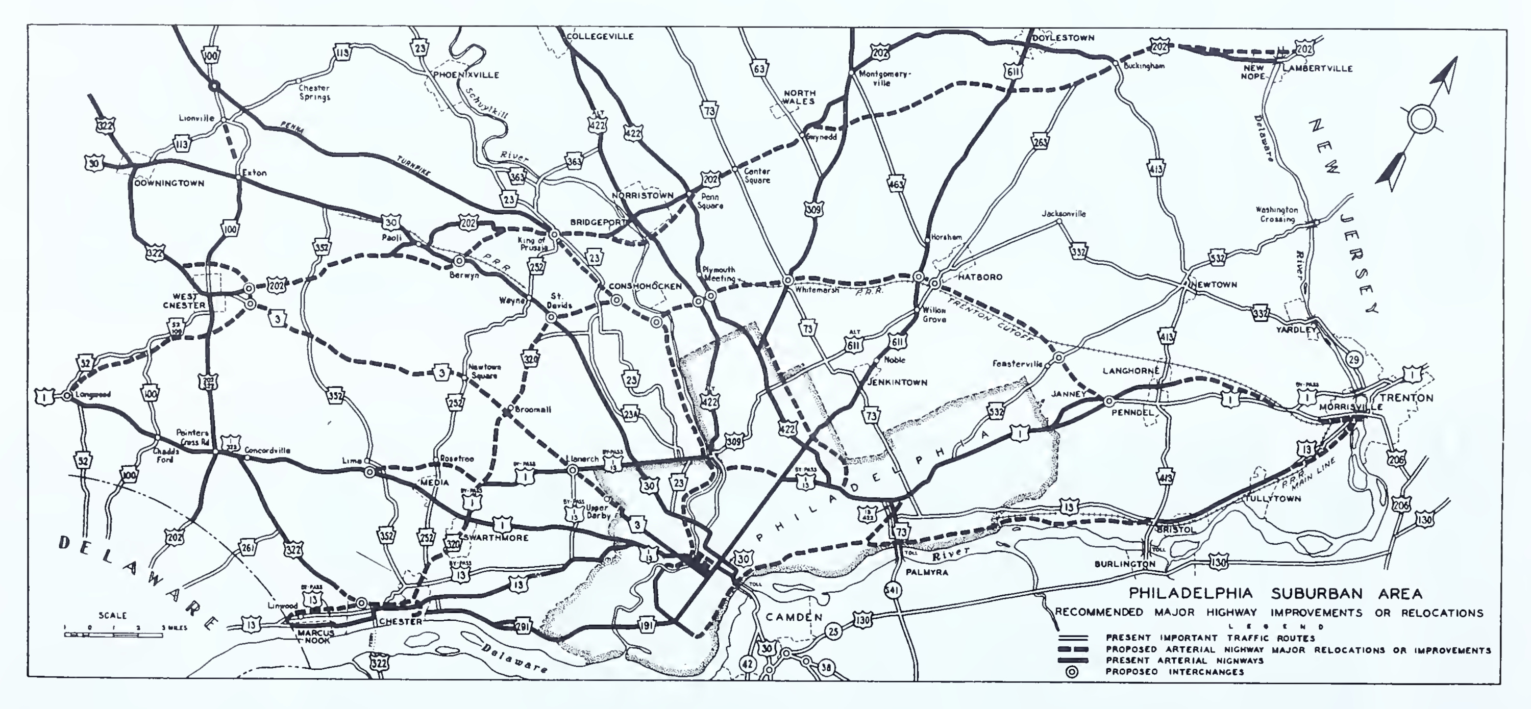
Part of the 1932 Regional Plan of the Philadelphia Tri-State District included a proposed regional highway system. One of the principal highways, the "Western Pennsylvania-Seashore" Route, approximately followed today's US-30 to PA-41 to DE-7/Limestone Road, then continuing along today's US-40 to Atlantic City. This suggests that the route was at least considered for future upgrades, though the nature of those upgrades is unspecified.
The relationship between railroads and ports is described in the 1931 report describing the Port of Wilmington (page x):
"The railroad situation is frequently a controlling element in port success. There should be ample trackage serving the terminal or terminals, with the most economical interchange both between the several railroads entering the port and between these railroads and the ship. Not only should the physical characteristics of the terminal with regard to the coordination between railroad and ship be examined, but the railroad rates should be scrutinized, as in various instances a commensurate utilization of a port has been rendered impracticable by unfavorable rate conditions.
[...]
Ports should not have to depend upon the good will or selfish interests of either railroads of steamship lines to develop new business. The railroads may prefer to have the business go elsewhere, and the water carriers could scarcely be expected to undertake extensive operations designed to bring goods to a particular port. In other words, the development of traffic should be regarded as one of the permanent functions of the port itself."
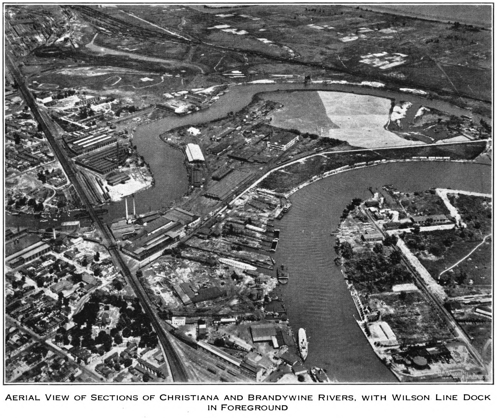
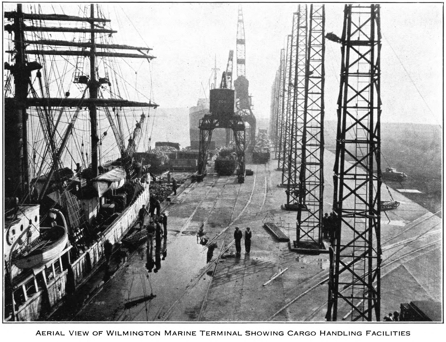
While Wilmington long had a harbor on the Christina River, the modern Port of Wilmington opened in 1923. The port sits along the southern shore of the Christina River, about 2 miles southeast of Downtown Wilmington. Early rivalries with Philadelphia, its upstream "parent" city, led Wilmington to have some early success as a port, as described in The Wilmington Merchant, 1775-1815 (pages 18-19):
"Fortunately for Wilmington's West India trade, Delaware's laws were less restrictive than those of Pennsylvania. In 1785 Pennsylvania passed a high protective tariff; the Delaware legislature countered by passing a law making Wilmington and New Castle free ports. This encouraged shippers to send their goods direct from Wilmington rather than via Philadelphia, and it thus contributed to the growth of the port of Wilmington."
This setting of port rates remained a major issue into the 20th century. As the major railroads at the time were the Pennsylvania, Reading, and Baltimore and Ohio (B&O), all based outside of Delaware and they had little to no competition for travel along their corridors, they had tremendous power to influence port traffic. As their interests were primarily in maintaining economic power in Philadelphia (Pennsylvania and Reading) and Baltimore (B&O), there was little interest on their part to invest in Wilmington, since they could drive Lancaster-area freight traffic to Baltimore or Philadelphia instead.
In fact, some rate adjustment must have occurred in the 1930s, though for an extremely specific case involving Florida citrus, as the 1938 report on the Port of Wilmington specifies (page 42, emphasis added):
"The Pennsylvania Railroad provides that citrus fruits, in packages, carloads, originating at points in the State of Florida, delivered to the Pennsylvania Railroad at Potomac yard and Norfolk, Va., may be forwarded to Wilmington for storage, and/or sterilizing in transit at public warehouses, and reshipped to destinations beyond Wilmington to white through rates are in effect from point of origin to final destination, on the basis of the through rate via transit point to final destination, plus a transit charge of 6½ cents per 100 pounds on the out-bound billed weight. Movement to and from the transit point must be via the Pennsylvania Railroad. The time limit is 12 months from the date of delivery at transit point as per in-bound paid freight bill. The exception to this transit charge is in connection with the traffic forwarded from Wilmington to Harrisburg, Pa., when the transit charge is only 2½ cents per 100 pounds. Tariff authority, Pennsylvania R.R., 1509-E, I.C.C. 588. The same privilege is published by the Baltimore & Ohio R.R. in its I.C.C. 21876."
The same condition is specified in the 1947 report, just with rates adjusted, likely for inflation, but at a similar ratio, though its phrasing is different (page 55):
"The exception to this transit charge is in connection with the traffic forwarded from Wilmington to Harrisburg, Pa., when an additional charge of 3½ cents per 100 pounds is assessed to cover out-of-route haul."
The historical rates for class loads at the Port of Wilmington and Port of Philadelphia are listed below. Note that loads to/from Harrisburg, Lancaster, and Coatesville were typically charged lower rates when processed through Wilmington than those processed through Philadelphia. This could be the result of rate balancing against the railroads who preferred traffic go to Philadelphia instead of Wlimington.
| Point A | Point B | 1931 | 1938 | 1947 |
|---|---|---|---|---|
| Harrisburg | Wilmington | 19 to 51 | 15 to 56 | 23 to 83 |
| Philadelphia | 19 to 51 | 17 to 60 | 25 to 89 | |
| Lancaster | Wilmington | 15.5 to 47.5 | 13 to 48 | 20 to 71 |
| Philadelphia | 19 to 51 | 14 to 52 | 21 to 77 | |
| Coatesville | Wilmington | 13.0 to 31.5 | 11 to 39 | 16 to 58 |
| Philadelphia | 13.0 to 40.5 | 12 to 42 | 17 to 62 |
However, even the Chamber of Commerce of Delaware couldn't deny that Philadelphia was the "true" regional market hub in their 1945 Industrial Survey of Wilmington (page 27):
"CONSOLIDATED L.C.L. SERVICE:
This service is available to shippers and receivers of freight in Wilmington and surrounding territory. Shipments move by motor truck to and from Philadelphia, Pennsylvania, and are forwarded from that point to all the principal cities served by freight forwarders."
This involves routes recommended by Google Maps, as of May 17, 2025, as well as routes generally used for travel between Lancaster, PA (Duke Street at Orange Street) and Newark, Delaware (Delaware Avenue at College Avenue), Wilmington, Delaware (Market Street at 9th Street), and Philadelphia, Pennsylvania (City Hall).
| Route Name | Highways Used | Mileage | Time | Avg MPH |
|---|---|---|---|---|
| Google Recommended | US-222, PA-472, US-1, PA/DE-52 | 56.5 | 1:19 | 42.9 |
| My Preferred Route | PA-462, US-30, PA/MD/DE-896, DE-273, I-95 | 56.7 | 1:33 | 36.5 |
| Routes 272 and 273 | PA/MD-272, MD/DE-273, I-95 | 61.2 | 1:27 | 42.2 |
| Routes 30 and 41 | PA-462, US-30, PA/DE-41, DE-48 | 47.9 | 1:22 | 35.0 |
| Routes 30, 41, and 52 | PA-462, US-30, PA-41, US-1, PA/DE-52 | 51.0 | 1:21 | 37.8 |
| Routes 30 and 202 | PA-462, US-30, PA-100, US-202 | 58.5 | 1:25 | 41.3 |
| Route Name | Highways Used | Mileage | Time | Avg MPH |
|---|---|---|---|---|
| Routes 272 and 273 | PA/MD-272, MD/DE-273 | 46.8 | 1:05 | 43.2 |
| Route 896 | PA-462, US-30, PA/MD/DE-896 | 42.3 | 1:11 | 35.7 |
The average speed attained on any of these routes never even reaches 45 MPH. Each of these routes ranges between 35 MPH and 43 MPH, indicating that the driving experience isn't very pleasant.
Having personally used several of these routes, I can speak to the advantages and disadvantages of each one:
| Route Name | Advantages | Disadvantages |
|---|---|---|
| Google Recommended | (no experience with this route) | (no experience with this route) |
| My Preferred Route Route 896 |
Low traffic More rural, less development |
Narrow, hilly roadway with poor sight lines One lane bridge over Muddy Run Several horse-and-buggy encounters Lower average speed (<40 MPH) |
| Routes 272 and 273 | Some four-lane segments Higher average speed (>40 MPH) Generally wider, safer roadway |
Medium traffic Heavy development through Newark Least direct route |
| Routes 30 and 41 Routes 41 and 52 |
Most direct routes Generally wider, safer roadway |
Extremely high traffic, especially trucks Heavy development in several locations (especially along US-30 and along PA-41 at Avondale) Lower average speed (<40 MPH) |
| Routes 30 and 202 | Higher average speed (>40 MPH) Several 4-6 lane segments |
Extremely high traffic Extremely heavy development throughout |
Objectively, Routes 272 and 273 form the best route between Lancaster and Wilmington/Newark, but personal experience has suggested that this route can quickly become an unpleasant drive. As it is objectively the best route, along with Routes 30 and 41, I feel like both handle much of the long distance traffic between these locations. Thus, if there's just one slowpoke or big truck on these two-lane roads, the trip can become unbearable.
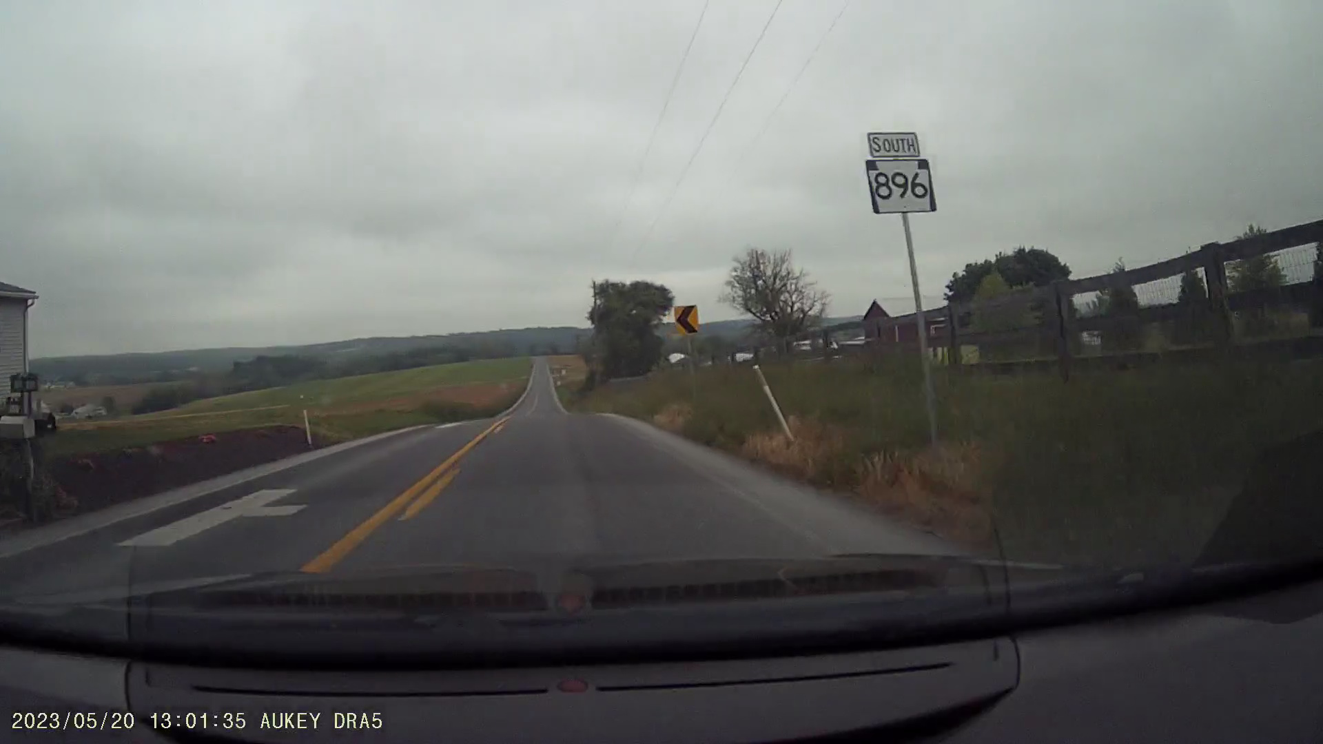
Meanwhile, Route 896 is a terrible route for trucks, with its winding, hilly path, poor sight lines, several Amish buggies, and the one-lane bridge over Muddy Run. In fact, there are several segments of Route 896 that ban large trucks. However, it seems to mainly handle local traffic, so being stuck behind slower traffic tends to be temporary. Also, the winding nature of the route tends to discourage high speeds anyway, so even though traffic runs at a lower speed, it's at least more consistent.

We won't even talk about the trip along Routes 30 and 202. It's doable, but I strongly advise against it. However, the route is important in discussions of historical plans for modern roads from Lancaster to Wilmington.
Despite Lancaster sitting closer to Wilmington, since better routes now exist between Lancaster and Philadelphia, the travel times are roughly equal to both cities. Also note that both routes listed have an average speed exceeding that of any of the routes between Lancaster and Wilmington/Newark, suggesting that the driving experience is more pleasant (though this does involve the Schuylkill Expressway).
| Route Name | Highways Used | Mileage | Time | Avg MPH |
|---|---|---|---|---|
| Pennsylvania Turnpike | US-222, I-76 | 78.6 | 1:24 | 56.1 |
| Routes 30 and 202 | PA-462, US-30, US-202, I-76 | 69.2 | 1:28 | 47.1 |
From the 1950s to the 1970s, with the advent of the Interstate highway system, there were several highway proposals under consideration throughout the United States. Looking back at these plans, they were largely very ambitious.
In this era, there were two major possibilities for the Lancaster-Wilmington route:
In theory, the upgraded Lancaster-Wilmington route would save about 25 to 35 minutes on a trip, or about 30% of trip time, assuming a 60 MPH average speed.
| Route Name | Highways Used | Mileage | Time | Avg MPH | Fwy Time | % Reduced |
|---|---|---|---|---|---|---|
| Routes 30 and 41 | PA-462, US-30, PA/DE-41, DE-48 | 47.9 | 1:22 | 35.0 | 0:48 | 32% |
| Routes 30 and 202 | PA-462, US-30, PA-100, US-202 | 58.5 | 1:25 | 41.3 | 0:59 | 31% |
This is the most direct route from Lancaster to Wilmington. However, only one plan seems to show a proposed upgrade along this corridor. This is from the 1962 Penn-Jersey Transportation Study. Alternative 4 from this study shows a planned freeway following approximately this route:
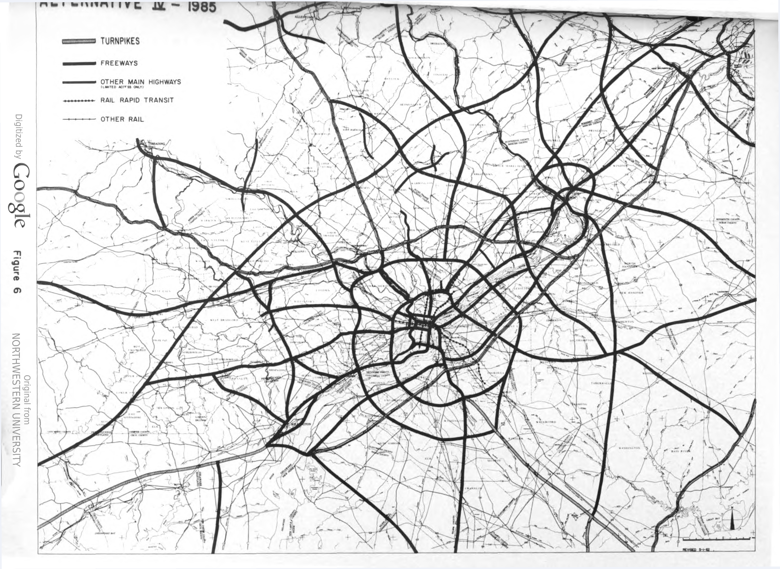
This route only goes as far north/west as Kennett Square. It completely omits any possible route from Avondale, where PA-41 meets US-1, to Gap, where PA-41 meets US-30. This means that there would have been 16 miles of freeway between US-30 and Wilmington, while the remaining 16 miles from Avondale to Gap would remain 2-lane roads, but at least the narrow route through central Avondale would be bypassed.
The US-202 corridor has always been a convoluted topic for anybody researching the highway system in suburban Philadelphia. Even the earliest highway plans for the region have suggested that the highway was to be upgraded to a full freeway surrounding Philadelphia's western and northern suburbs. All these sources reference a US-202 freeway, west of Philadelphia, to some degree:
Note: This article will only focus on US-202 south of Exton, as more northerly points on US-202 are not relevant to the topic of routes between Lancaster and Wilmington.
Pre-1962 plans for a US-202 freeway tended to focus on a route spurring off the US-1 Kennett-Oxford Bypass around PA-10 in Oxford, with the freeway reaching US-30 just east of Coatesville, then running east-northeast, several miles north of today's US-202. By 1962, the planned highway was shifted more towards today's US-202.
One exception is the plan specified in the 1950 document Pennsylvania Highways Today and Tomorrow, where the freeway was to run somewhere between the pre-1962 plan and the current US-202.
It's likely that US-202 was viewed as a more serious contender for long-distance traffic between Lancaster and Wilmington, as it could also serve traffic looking to bypass Philadelphia on their way to the Lehigh Valley, central New Jersey, and points north. Upgrading PA-41 would benefit traffic trying to reach Lancaster and Harrisburg, but upgrading US-202 would benefit a broader set of travelers. Further assisting US-202 was the existing interchange between PA-100, which spurs from US-202 near West Chester, and the Pennsylvania Turnpike, opening up even more westerly destinations for travelers, while financially benefiting the Pennsylvania Turnpike Commission.
Outside of what was built in Pennsylvania, there aren't many detailed maps showing how a US-202 freeway could have looked between the West Chester Bypass and the Delaware state line. All I've gathered from the maps I've traced into modern GIS software is that the planned freeway would have run approximately 1 mile to the east of the existing US-202.
Now on the Delaware side, far more detail is available, thanks to a 1972 Environmental Impact Study (EIS) available on Google Books, showing very detailed plans for a US-202 freeway from the Pennsylvania state line to I-95. Additionally, detailed plans for the completion of the DE-141 freeway from Greenville to US-202 are shown in the EIS, combined with another 1972 study focused on the extension of the DE-141 freeway from Kirkwood Highway to Greenville.
Without any significant upgrades to these routes for traffic traveling between Lancaster and Wilmington, the corridor between these two areas continues to be studied, with renewed interest in the 1990s.
In 1999, the PA-41 Corridor Analysis was done by the Delaware Valley Regional Planning Commission (DVRPC), highlighting the corridor's traffic problems even then. Issues included higher crash rates and severity compared to the statewide average, relatively high truck traffic (16% of total), and substandard highway conditions.
Railroad was explored as an option but described the problems with rail service between Wilmington and Lancaster, particularly the lack of direct service and "problematic transfers among multiple carriers." Alternative corridors were also explored, specifically the highly insufficient PA-82 and PA-896, which are not remotely designed for heavy freight traffic.
The other alternative considered was US-202, PA-100, and the Pennsylvania Turnpike, which showed the following table, comparing the routes between Wilmington and Harrisburg. Note that the toll amounts are as of the analysis date (1999). Today, the toll for a tractor-trailer traveling the between PA-100/Downingtown and PA-283/Harrisburg East is $37.12 with E-ZPass ($74.24 without E-ZPass).
| PA-283, US-30, PA/DE-41 | PA Turnpike, PA-100, US-202 | |||
|---|---|---|---|---|
| Distance | 82 miles | 100 miles | ||
| PA Turnpike Toll | N/A | $12.50 Tractor-Trailer |
||
| Travel Times | Pt. of Wilm. to Harrisburg |
Harrisburg to Pt. of Wilm. |
Pt. of Wilm. to Harrisburg |
Harrisburg to Pt. of Wilm. |
| AM Peak | 1:43 | 1:45 | 1:55 | 2:00 |
| Midday | 1:43 | 1:43 | 2:01 | 2:02 |
| PM Peak | 1:53 | 1:45 | 1:59 | 2:02 |
The conclusion of this comparison is that the tolls on the Pennsylvania Turnpike, combined with the longer travel time and longer distance, do not justify it as a Wilmington to Lancaster/Harrisburg route. Thus, "PA-41 is the only reasonable route for the trucks it serves" (page 28).
The analysis explored the idea of a four-lane limited access expressway for all of PA-41, but it was rejected as it was "not included in or supported by" plans at any level, had a substantial cost (estimated at $340 to $500 million at the time) and it would have "significant environmental impact" (page 37).
The Wilmington-Harrisburg Freight Study follows the PA-41 Corridor Analysis from three years earlier. Its study region covers the route along DE/PA-41 to US-30 to PA-283. Its introduction states (page 3):
"The Wilmington-Harrisburg Freight Study (WHFS) addresses the issue of the increasing truck and intermodal freight traffic along the Corridor between the Ports of Wilmington and Philadelphia and the Harrisburg/Carlisle area, with special attention being paid to the intermediate Lancaster County market and overhead traffic."
This study was mainly related to the PA Route 41 Improvement Project and the Route 30 Corridor Improvement Project, both of which were under study at the time. These considered bypasses of those roads, though it did note issues with a potential PA-41 bypass (page 11):
"Given the added circuitry, this will not amount to much transit-time savings. The real transit-time savings should come from eliminating the narrow roads and congestion in Avondale and Chatham. These bypasses would be of benefit to ease congestion and improve freight flow, but without a more complete bypass, the impact of these changes on truck traffic will be minimal."
One of the considerations was traffic calming on PA-41, pushing truck and through traffic to use US-202 to the Pennsylvania Turnpike instead, "but this is only practical for traffic moving to Harrisburg and points west" (page 12). The traffic calming consideration was dropped, as it would merely increase congestion as much of the traffic is traveling between intermediate points along the corridor. The study notes that 83% of traffic has an origin or destination in one of the counties involved. More significantly, just 2% of the trucks using the corridor "are not conducting business within the region" (page 5).
The Pennsylvania Department of Transportation's 2010 PA-41 Planning Study focused on the route between the Delaware state line and PA-926, which includes the segments through Avondale and Chatham. The introduction referenced a 1988 study from the Avon-Grove Regional Planning Commission that recommended a 4-lane expansion of PA-41 "as a result of traffic congestion, circulation, and safety" (page 1).
There are descriptions of typical uses of PA-41, serving as a commuter route between Pennsylvania and Delaware, a regional truck route, and even serving beach traffic to Delaware in the summer. It also specifies that "the majority of the delay is from US Route 1 south to Baltimore Pike on the south side of Avondale," showing that the true problem is in the Avondale area (page 16).
The study noted limitations in planning any expansion of PA-41, particularly that Delaware had no immediate plans to expand DE-41 and that the future of any expansion of US-30 from Gap to Lancaster was effectively unknown, so any expansion may result in a bottleneck on either end.
The study's recommendations are summarized as follows (page 21):
"Current traffic studies along PA-41 show that capacity issues do not exist between the intersections, but rather are present only at intersections. Based on current needs, four travel lanes are not needed throughout the corridor, but safety and additional capacity is needed at some key intersections."
With the historical connection between Lancaster and Wilmington, one might expect this trade relationship to remain strong. Instead, that has not been the case. Because this relationship never had meaningful support from the railroads, no modern corridor between Lancaster and Wilmington was built, leaving just today's archaic routes, like Newport-Gap Pike, PA/MD/DE-896, and the 273-272 corridor, with only modest upgrades since the 18th century.
The modern impacts of this route's development, or lack thereof, becomes clear when reviewing modern freight flows. The United States Commodity Flow Survey (CFS), allows analysis of freight flows between different origin-destination pairs. More detailed statistics from the 2022 CFS are shown in the tables later in this section.
These statistics show that only a small amount of freight from Lancaster is bound for Wilmington/Dover, only 49,000 tons, a tiny share of the 18.3 million tons of the area's inbound domestic freight in 2022. This is also an even smaller share of Lancaster's own 35.9 million tons of outbound domestic freight.
The freight that does reach Wilmington and Dover primarily comes from Delaware, Maryland, and South Jersey, representing 44% of the region's inbound domestic freight. The Philadelphia-Allentown-Camden area contributes another 1.41 million tons (7.6%). Even when Lancaster is combined with its neighbor, the freight-heavy Harrisburg-York-Carlisle area, the total is just 270,000 tons, or 1.5% of Wilmington-Dover's inbound domestic freight.
In short, Wilmington's modern freight network is Delmarva-centric, with some additional influence from the Brandywine Valley (Chester and Delaware Counties), South Jersey, and the Philadelphia area. This suggests that Wilmington has a significant base of its own. Nowadays, Lancaster is hardly part of that picture.
Lancaster's outbound freight statistics further emphasize this change. Most of its freight stays within Pennsylvania: 11.97 million tons remain local, 3.3 million tons go to Harrisburg-York-Carlisle, and 2.91 million tons go to Philadelphia-Allentown-Reading. These combine to represent 51% of Lancaster's outbound domestic freight. In comparison, the entirety of Delaware, even when combined with Maryland's Eastern Shore, represents only 234,000 tons, or just 0.7% of Lancaster's outbound domestic freight.
Overall, this data shows that the Lancaster area is heavily focused on Pennsylvania-bound freight, with 43% staying within the Harrisburg-Lancaster area and 12% going elsewhere in the state.
What's most interesting about Lancaster's freight patterns is that even Philadelphia is overshadowed by the Harrisburg area. This is due to the modern trucking industry, who acknowledge the strategic location of Harrisburg and Carlisle, which both prominently sit along I-81 and the Pennsylvania Turnpike, two of the most important freight routes on the East Coast. Freight patterns in the Harrisburg-York-Carlisle area are remarkably diverse and Lancaster is one of its major feeders.
While Delaware was considered Lancaster's "way out" in the colonial era, opening its extremely productive agriculture to markets worldwide, that relationship has long since faded. The mills along the Brandywine River, which took grain from Lancaster and processed it for shipments from Wilmington, no longer exist. The railroads never made a serious investment in a route between Wilmington and Lancaster, preferring Philadelphia. Today, Lancaster has away from Wilmington and even somewhat away from Philadelphia, working more with the neighboring Harrisburg-York-Carlisle area, reflecting modern freight patterns that prefer trucking routes.
| Region | Tons (000s) |
|---|---|
| Wilmington-Dover, DE | 5,162 |
| Eastern Shore (excl. Queen Anne's Co) and Saint Mary's Co., MD |
1,884 |
| Sussex County, DE | 1,006 |
| Newark-Elizabeth-Toms River, NJ | 773 |
| Allentown-Reading, PA | 664 |
| Camden-Burlington-Salem, NJ | 641 |
| Chester Co.-Delaware Co., PA | 455 |
| Philadelphia-Norristown-Doylestown, PA | 314 |
| Harrisburg-York-Carlisle, PA | 221 |
| Baltimore-Annapolis-Queenstown, MD | 212 |
| Frederick-Bethesda-Waldorf, MD | 160 |
| All Other Areas, NJ | 112 |
| Lewistown-Williamsport-Bloomsburg, PA | 90 |
| Lancaster, PA | 49 |
| All Other Areas in the US | 6,501 |
| All Origins in the US | 18,345 |
| Region | Tons (000s) |
|---|---|
| Lancaster, PA | 11,973 |
| Harrisburg-York-Carlisle, PA | 3,315 |
| Philadelphia-Norristown-Doylestown, PA | 1,176 |
| Allentown-Reading, PA | 904 |
| Chester Co./Delaware Co., PA | 829 |
| NY City/Long Island/Poughkeepsie, NY | 714 |
| Pittsburgh-Erie-Washington, PA | 663 |
| Baltimore-Annapolis-Queenstown, MD | 540 |
| Altoona-Williamsport-Bloomsburg, PA | 423 |
| Elizabeth-New Brunswick-Toms River, NJ | 317 |
| Camden-Burlington-Cape May, NJ | 289 |
| Trenton-Morristown, NJ | 235 |
| All Other Areas, NY | 221 |
| Scranton-Wilkes Barre-Pocono, PA | 206 |
| Eastern Shore (excl. Queen Anne's Co) and Saint Mary's Co., MD |
141 |
| Buffalo-Rochester-Niagara Falls, NY | 137 |
| Frederick-Bethesda-Waldorf, MD | 108 |
| All Areas, DE | 93 |
| All Other Areas in the US | 13,574 |
| All Origins in the US | 35,907 |
Links were active at the publication of this article on January 27, 2026.